Shop : Details
Shop
Details
39,80 €ISBN 978-3-8440-6352-3Softcover102 pages149 g21 x 14,8 cmEnglishThesis
December 2018
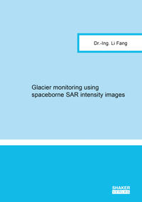
Li Fang
Glacier monitoring using spaceborne SAR intensity images
For mapping of glacier regions and their velocity field of the surface, intensity images of Radar remote sensing are exploited. The supervised classification of glacier areas is based on sparse vector representations. The estimation of glacier surface motion is conducted via point like features and robust phase correlation. The experiments are carried out using TerraSAR-X images of Taku glacier in Juneau Icefield and Baltoro glacier in Karakorum.
Keywords: synthetic aperture radar (SAR) imagery; glacier surface motion; glacier zones classification; image processing
Available online documents for this title
DOI 10.2370/9783844063523
You need Adobe Reader, to view these files. Here you will find a little help and information for downloading the PDF files.
Please note that the online documents cannot be printed or edited.
Please also see further information at: Help and Information.
Please also see further information at: Help and Information.
| Document |  | Document | ||
| Type |  | |||
| Costs |  | 29,85 € | ||
| Action |  | Purchase in obligation and download the file | ||
| Document |  | Table of contents | ||
| Type |  | |||
| Costs |  | free | ||
| Action |  | Download the file | ||
User settings for registered online customers (online documents)
You can change your address details here and access documents you have already ordered.
User
Not logged in
Export of bibliographic data
Shaker Verlag GmbH
Am Langen Graben 15a
52353 Düren
Germany
Am Langen Graben 15a
52353 Düren
Germany
Mon. - Thurs. 8:00 a.m. to 4:00 p.m.
Fri. 8:00 a.m. to 3:00 p.m.
Fri. 8:00 a.m. to 3:00 p.m.
Contact us. We will be happy to help you.


